WORLD MAP 1807 Jean-Baptiste CLOUET VERY LARGE NICE ANTIQUE ENGRAVED MAP
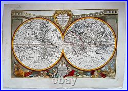
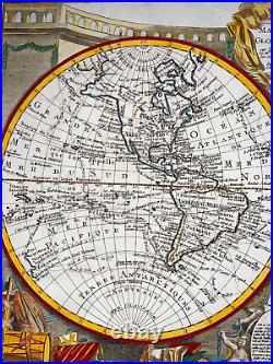
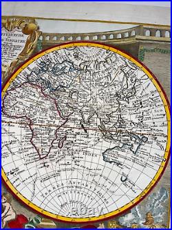
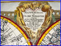
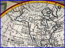
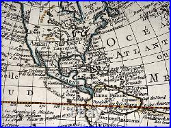
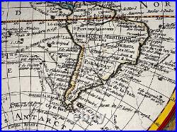
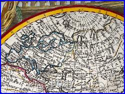
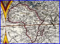
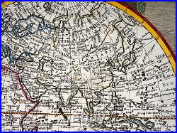
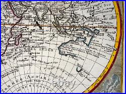
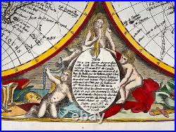
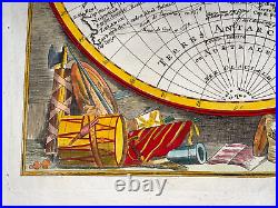
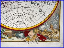

"MAPPEMONDE ou GLOBE TERRESTRE Dressée sur les Nouvelles Observations Astronomiques de Mrs de l'Academie Royale des Sciences et sur les Mémoires les plus récents, Par Mr l'Abbé Clouet de l'Académie Royale de Rouen, A PARIS Chez Jean Rue St Jean de Beauvois 1807". Very large nice antique copper engraved world map, by Jean-Baptiste CLOUET, dated 1807. This map shows the routes of the mai explorers as James Cook, Bougianville, Clarcke, Mendena, Tasman, Le Maire, Halley. The explorations in the Northwest Coast of America are quite prominent. A "Mer de L'Ouest" is labeled but not very obvious present. In lower side, a text panel surrounded by 2 children explains that the map has many new explorations in the four parts of the world, especially in Canada, Baffin Bay, and by explorers like Tchirikow (1741) and Cook and Bougainville.
Size with text : 77 x 54 cm / 30 x 21,2 inches. On strong paper, in colors, very good condition.
WE DON'T SELL LASER AND COPIES MAPS, ALL WE SELL IS ORIGINAL AND ANTIQUE. Due to the age an type of paper, some imperfections are to be expected. Please examine the images provided carefully, and if you have any questions please ask and we will be happy to help you.