VERY NICE, Antique French Map of the Alexandre Empire, Circa 1735
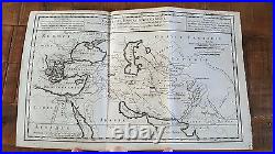
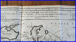
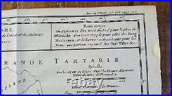
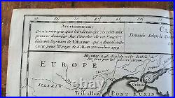
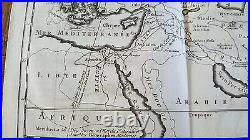
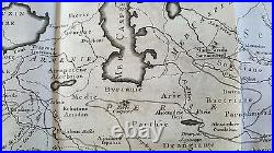

Up for sale is an original antique map "CARTE DE L'EMPIRE D'ALEXANDRE" Dressee Selon le Systeme de Guill. Delisle Premier Geographe du Roi de'Acad. MAP OF THE ALEXANDRIA EMPIRE. I'm not sure what publication this is from.
It is a French map. The map is approximately 16" X 10", including the border area. The map is on hand laid paper.
It is blank of the reverse side. The map is in Good condition.
There is some age related browning and staining, particularly along the edges. There are some chips and tears along the edges (these will not show when framed). There are some creases here and there, as well. The map has two crease/fold lines down the middle from being folded.
Heavier browning around the edges. Other stains and dings here and there.
Still this is a GREAT MAP and will look fabulous when framed! These antique maps are a fabulous piece of history! This item is in the category "Antiques\Maps, Atlases & Globes\Europe Maps".
The seller is "book14850" and is located in this country: US. This item can be shipped worldwide.